
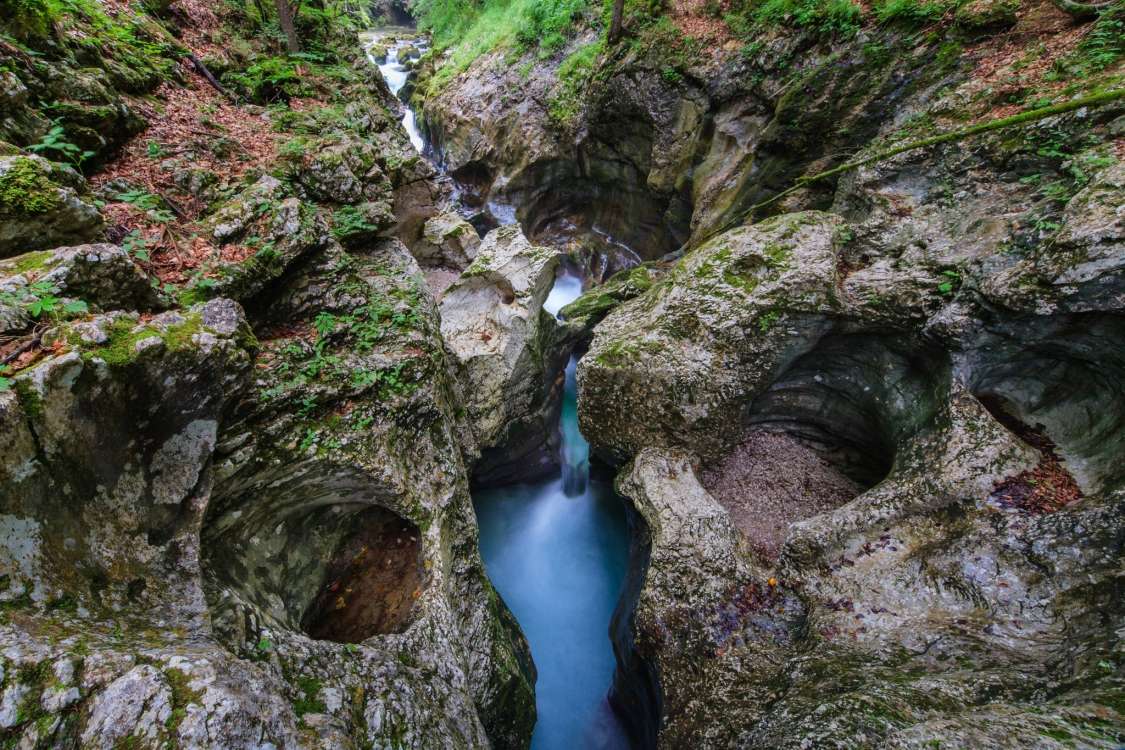
The Mostnica Gorge and Waterfalls
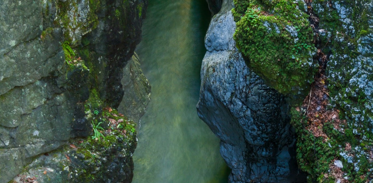
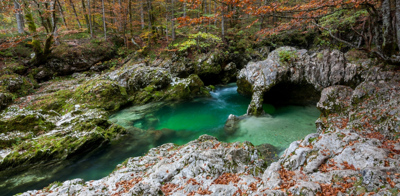
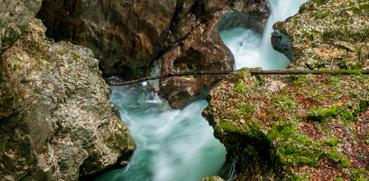
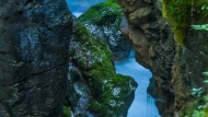
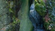
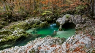
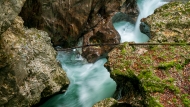
The Mostnice Gorge, which is about 2 km long, was formed partly by tectonic carving of the central valley and partly by glacial deepening caused by erosion or deepening of the Bohinj glacier. The side valley of the Mostnica has thus remained higher or has 'hung down'. The Mostnica had to overcome the difference in altitude by carving a narrow gorge with widened parts in between into the fossil bedrock of light limestone. The troughs are in some places up to 20 metres deep and only a shoulder width wide. The Mostnica deepened most rapidly during the glacial melt (15 000 to 10 000 years ago), when the volume and power of the water was at its greatest and it was able to cut into the bedrock, together with the material that the water carried with it.
Senožetna planina Voje is a widespread central part of the Mostnica valley with an altitude of just over 700 metres. The surface is covered by a glacial moraine, and Voje is closed in the south by a frontal moraine embankment. The mountain is rich in water, as the Mostnica has several tributaries and in some places water comes from the ground. The Voje valley is a typical U-shaped glacial valley.
On the way from Stara Fužina to the Mostnica waterfall, the Mostnica is spanned by four bridges and a footbridge, which is why the ancestors named the watercourse Mostnica after them. The most famous is the Devil's Bridge, which legend has it was built by the devil himself.
Your safety is your responsibility
In the natural environment, you may encounter falling rocks and trees, slippery and uneven terrain, sudden changes in weather, high water levels and wild animals. The park authority maintains trails within the scope of its responsibilities and available resources but cannot guarantee your safety. Visitors are responsible for adapting their plans to the weather and trail conditions, choosing trails suited to their abilities, using appropriate equipment, staying on marked trails and acting responsibly.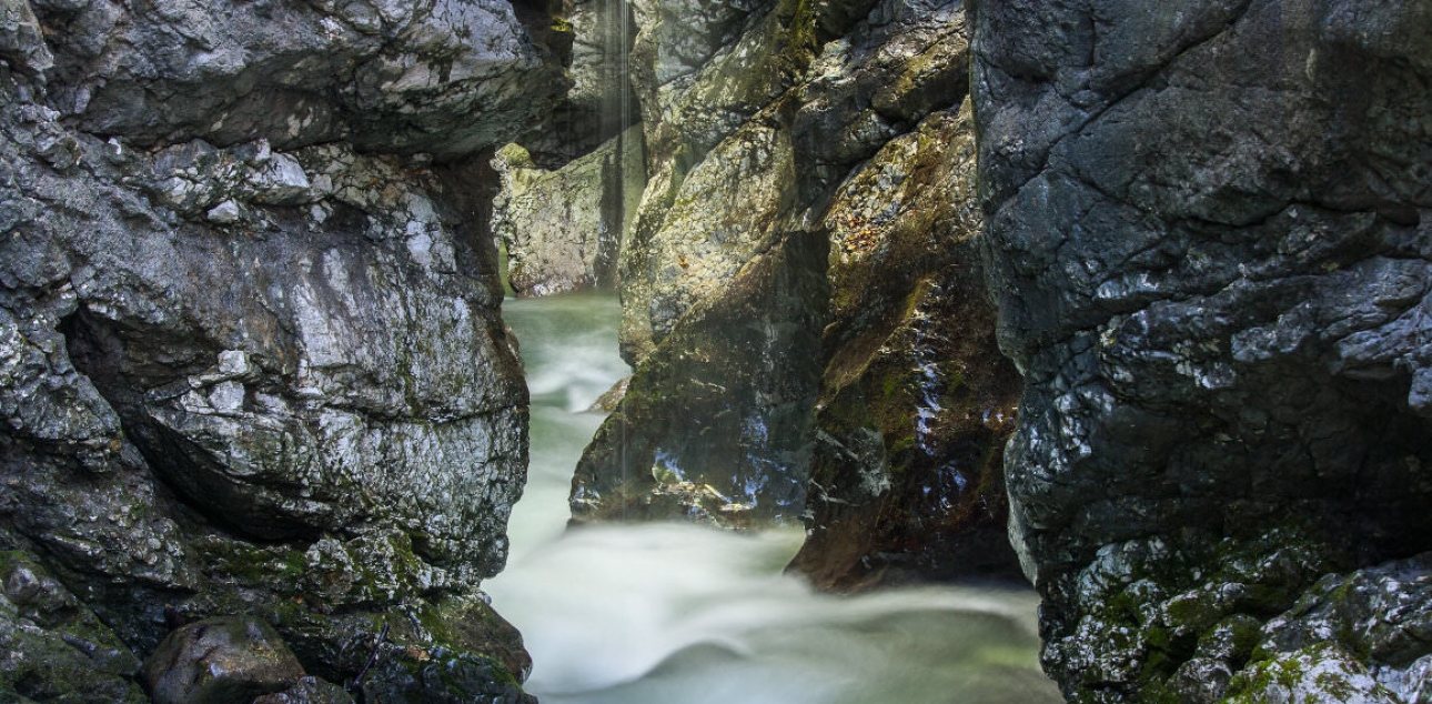

Thank you.