Mangrtsko sedlo Educational Trail
The new Mangrtsko sedlo trail, where you will learn about this sensitive high mountain area through info points.
Leaflet

You can reach starting point by using public transport in summer season.
Find out more about sustainable mobility in the park and beyond.
Data from visitor counters in the park
Data from the counter on Nature educational trail Mangrt*
(*data is refreshed monthly)


 Summer location / automatic station
 Winter location / automatic station
 Year-round location / automatic station
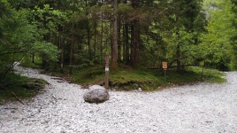
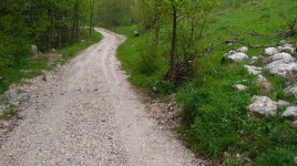
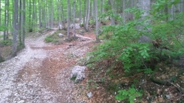
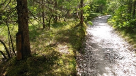
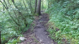
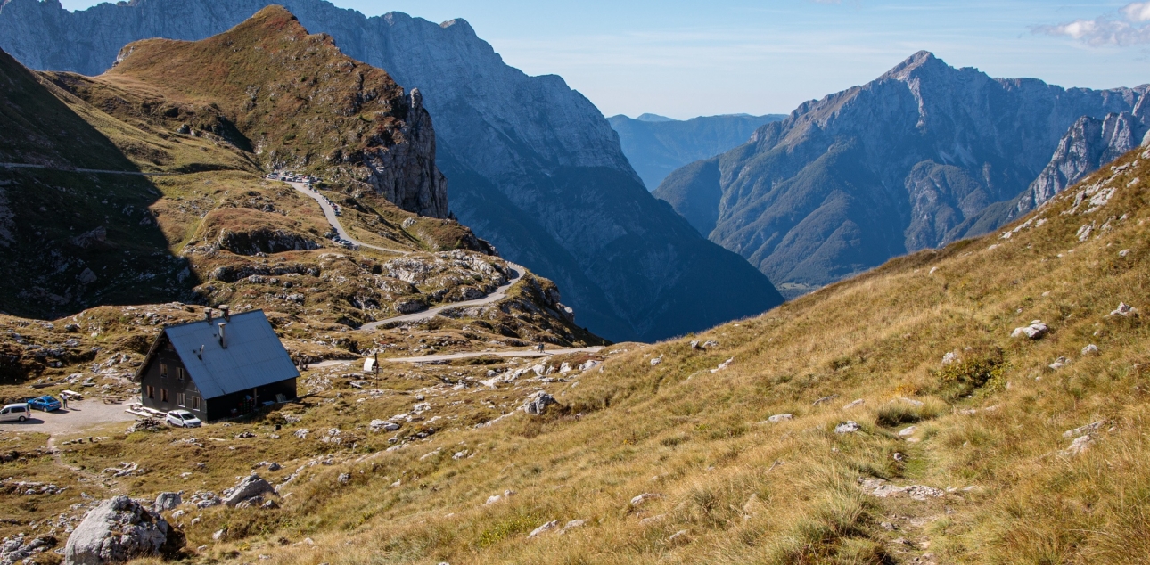
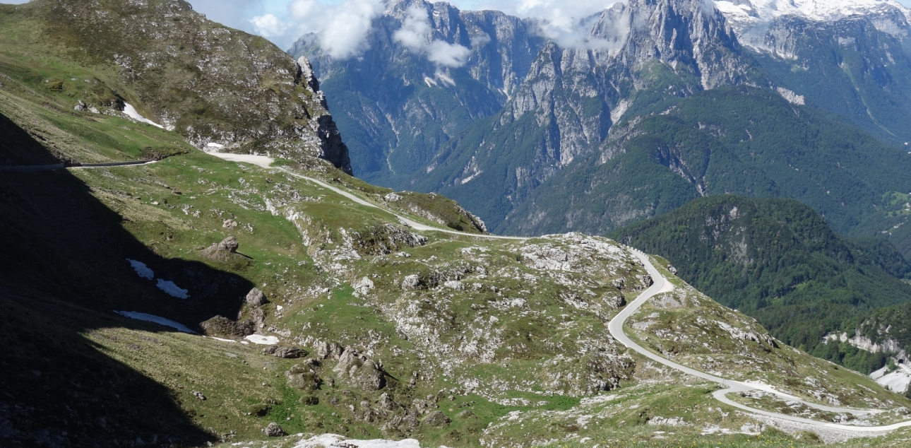
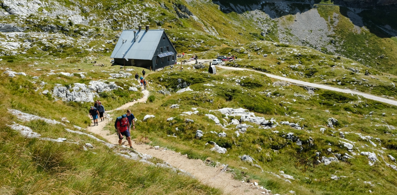
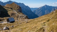
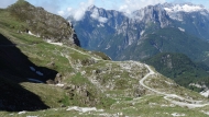
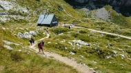
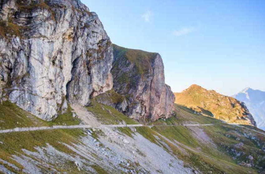
The Mangrt Trail offers two starting points, a car park in front of the last tunnel and a car park in front of the barrier, and allows visitors to explore the area along a signposted mountain trail that leads past the mountain hut and along a former traffic road that is now closed to traffic.
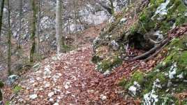
The modern interpretation of the nature trail includes various phenomena such as geology, geomorphology, meteorology, botany, fauna, pastoralism, mountaineering and features of the post-war period. At the same time, it emphasises to visitors the sensitivity of life in the high mountains and reminds them to move carefully in the immediate vicinity of quiet areas for white-tailed deer.
The new nature trail is an excellent way to explore the Mangrt saddle, offering visitors an interpretation of an exceptional high mountain environment that is relatively easy to access and unique in terms of observing nature at high altitude.

Additional information
Difficulty of the route:
- easy
Points of interest along the way:
- The content of the trail consists of phenomena in the fields of botany (the extraordinary diversity of alpine flowers), fauna (the location of a quiet area for the cotinga kurina), geology (nariv, folds, faults, etc.), meteorology (the optimal conditions for the formation of buoyant winds), traditional human activities (mountain climbing and alpine grazing), history (the post-war period), and mountaineering (the protected Slovene trail in the Mangartu Mountains).
Suitable time of year:
-
dry season
-
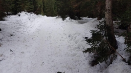
The road to Mangart saddle is closed in winter.
Visit payability:
- An eco-tax of 10 € is payable for driving on Mangrtska cesta.
Guest houses and mountain huts:
- Hut on Mangrt saddle
Recommendations:
- As it is a popular destination during the summer months, we recommend using public transport to get to the starting point. This will not only reduce traffic congestion and protect the environment, but also help you enjoy the journey without any worries. The bus service operates regularly from various locations, allowing easy access.
- A maximum of 90 vehicles (including motorbikes) can be driven to Mangart saddle at any one time. Traffic is regulated by a traffic counting gate.
Route manager:
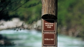
- Triglav National Park
Walk along the Mangrt nature trail
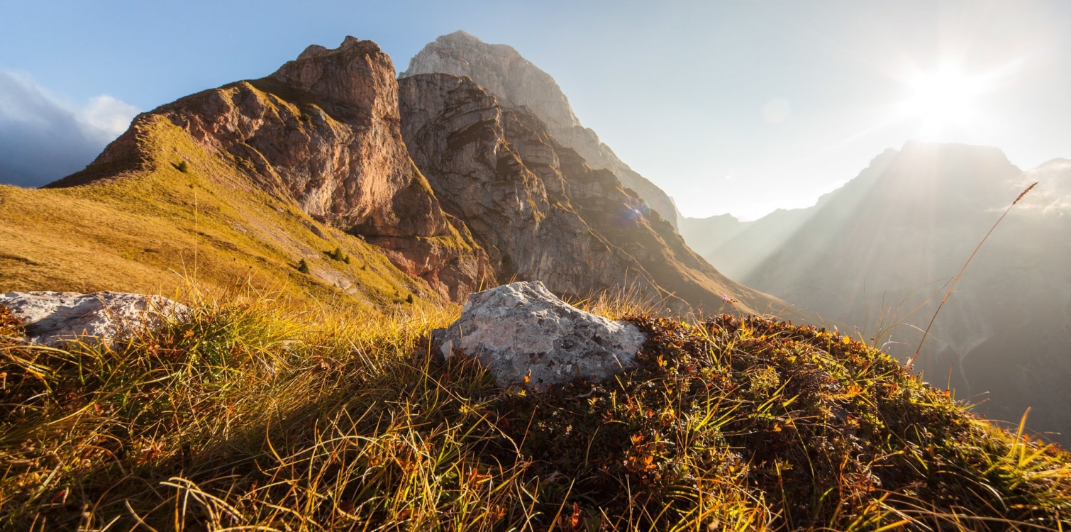
Mangrt saddle
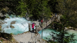
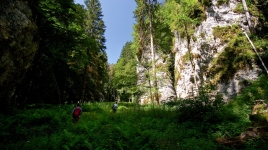
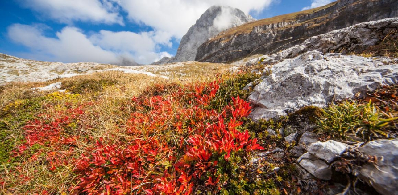
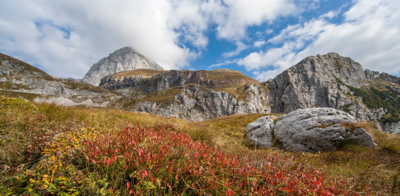
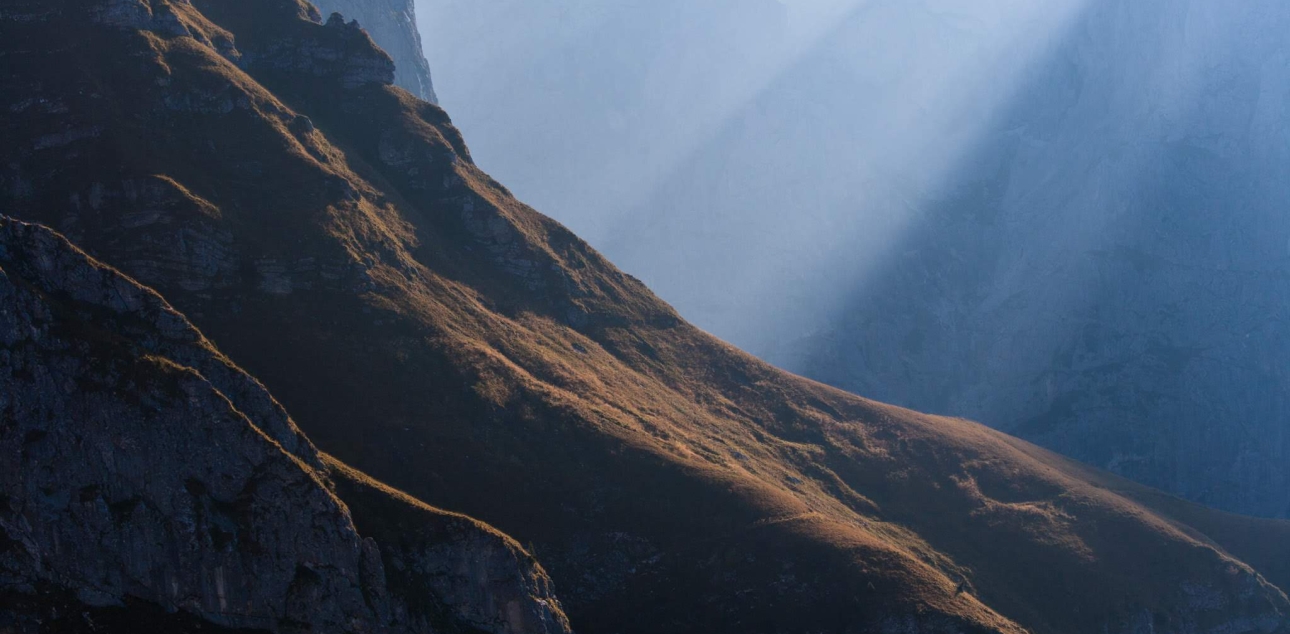
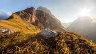
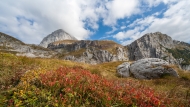
The trail winding among the colourful mountain meadows and sheer walls of Mt Mangrt – one of the most impressive rock faces in Triglav National Park – takes visitors through the kingdom of the rock ptarmigan to the top of the panoramic Mangrt Saddle.
We only have one Alps. A sensitive ecosystem on which our lives depend. Water, air, soil, forests – endless possibilities for spiritual enrichment and physical relaxation.
Janez Bizjak
The Mangrt Saddle through time
In ancient times, the Mangrt Saddle was part of a transport route that ran from Friuli and the Bovec to Tarvisio, across the Alps to the Danube and the Baltic Sea. Prehistoric pottery shards found during the restoration of the former hut on the saddle, an axe from the Late Iron Age and a Bronze Age sword – both found on Strmec – are proof that the route was used 3,200 years ago. In 2016 archaeologists surprisinglyan Antique sacrificial site with numerous votive objects. The first narrow access road across the Predel pass built in Antique times marked the end of gruelling transportation over the Mangrt Saddle.
In the Alps sacrificial sites are often found outdoors, in secluded spots near mountain passes, where transporters made their offering of votive objects as a request or gratitude for safe passage. Votive objects from antiquity found at a site below Mt Mangrt’s rock face included pottery, spear tips, a bronze clasp, various tools and a large piece of retouched quartz.
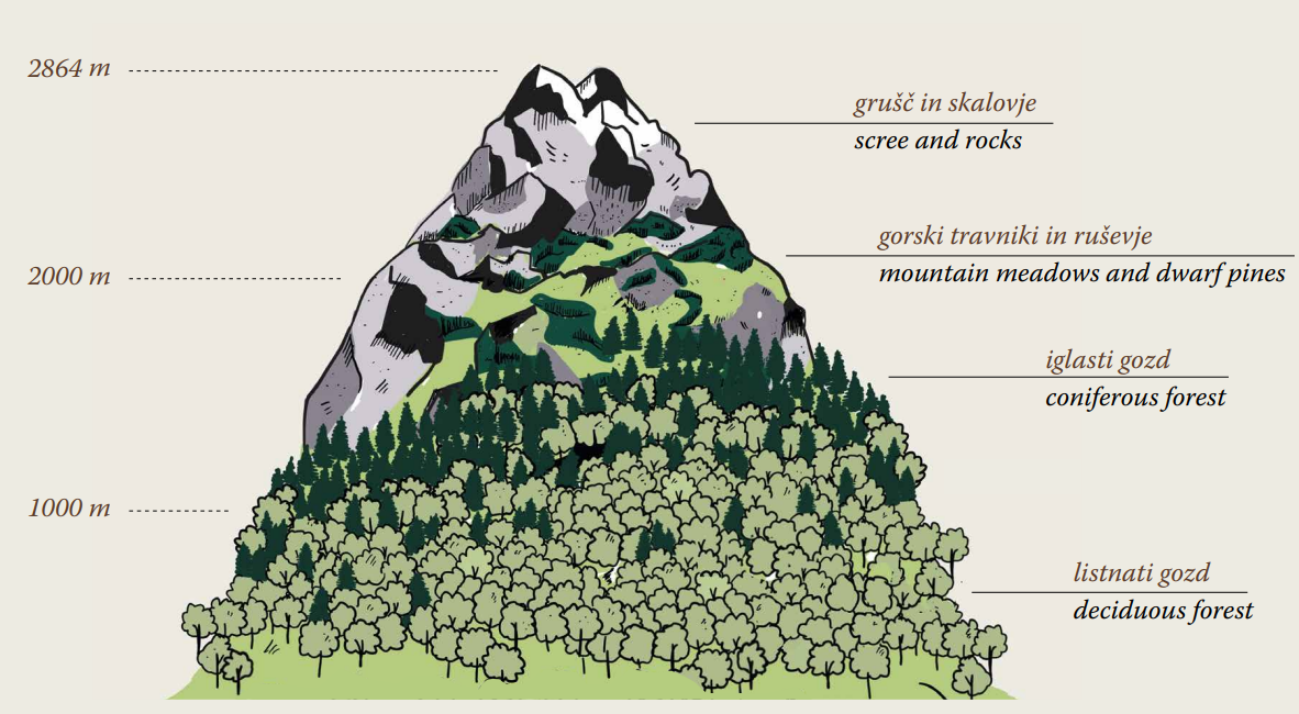
Altitudinal zones
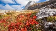
On average, the temperature in the mountains is lower than in the valley. Temperature, humidity, soil composition and solar radiation are important factors in determining the vegetation that thrives at certain elevations. As the vegetation must be adapted to specific conditions, altitudinal zones are clearly defined.
The tree line is between 1,600 and 1,800m above sea level. It depends on location, light exposure and terrain. The tree line is found at lower elevations on shady slopes than on southern slopes that are exposed to the sun.
Nature is a full circle. It is built from tiny stones that make up a mosaic of this beauty and diversity. If only one of them is lost, there will be a gap in the image.
Dr. Jože Bavcon
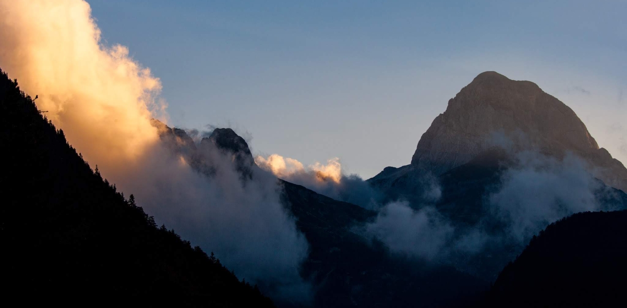
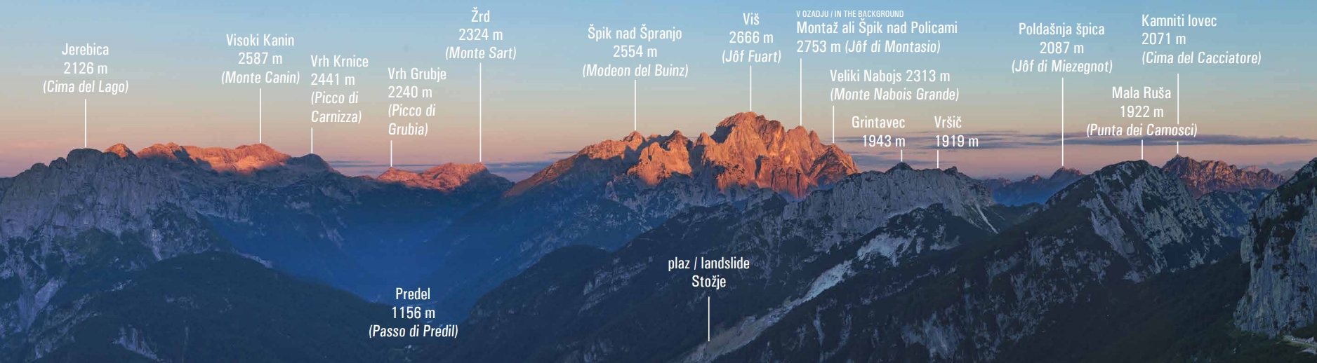
Western Julian Alps
The top of Mt Mangrt (2,679m) rises more than 2000 height metres above the village of Log pod Mangrtom and is part of the Western Julian Alps. At 2,753m, the highest peak of this mountain range is Montaž a.k.a. Špik nad Policami (or Jôf di Montasio in Italian). All the peaks have Slovenian as well as Friulian or Resian names.
As dawn erupted across the sky from the east, we were suddenly enveloped in magical colours... at the same time, a dark and menacing wall of clouds was rising in the south. Moving swiftly to the sound of distant thunder, it shrouded us almost instantly in the hollow rags of fog it had sent ahead.
Dr. Julius Kugy
Slovenska pot
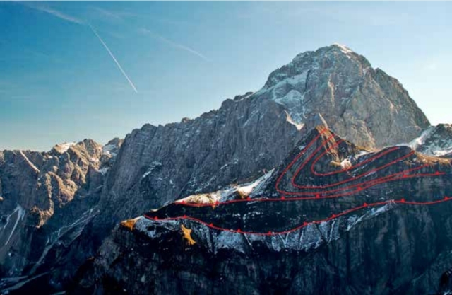
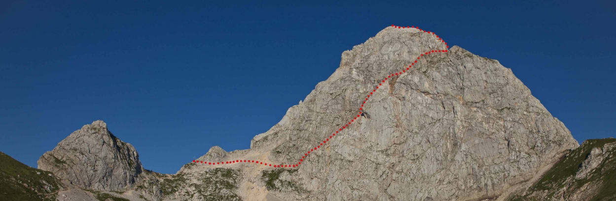
After the Second World War, the peak of Mt Mangrt was divided by the national border between Italy and the former Yugoslavia. The old mountain path to the top, which crossed the new border twice, became an obstacle to further development of Slovenian mountaineering.
In 1953 the Tolmin Alpine Club laid out a new path up the mountain’s 500-metre-high west face. In 1956 the path was taken over by the Bovec Alpine Club. For years, the local mountain rescue service team cleaned it carefully before the summer season, even using birch brooms. The last major renovation was done in 2019.
The Slovenian Route is a very demanding mountain path secured with steel cables, pins and rungs for safe passage. Use of hands is essential. The route is only suitable for experienced mountaineers and hikers led by mountain guides!
Valley breeze and mountain breeze
In areas of varied terrain, localized breezes often occur along mountain slopes, typically in calm and clear weather. They are generated by differences in heating and cooling of land surface during the day and night.
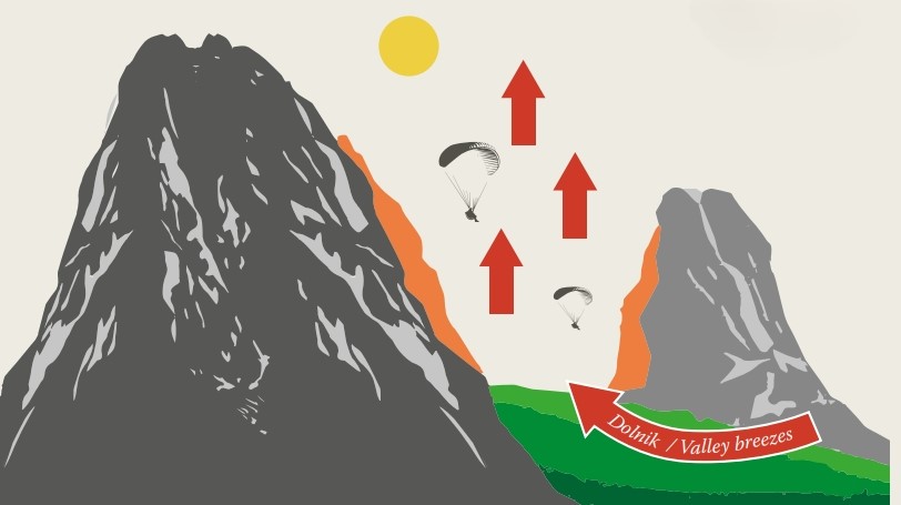
During the day
In clear weather, the sun heats up the mountain slopes and the air along them during the day. Lower density and mass causes this warm air to rise. Since the air moves from the valley up the mountain slopes, this wind is called a valley breeze.
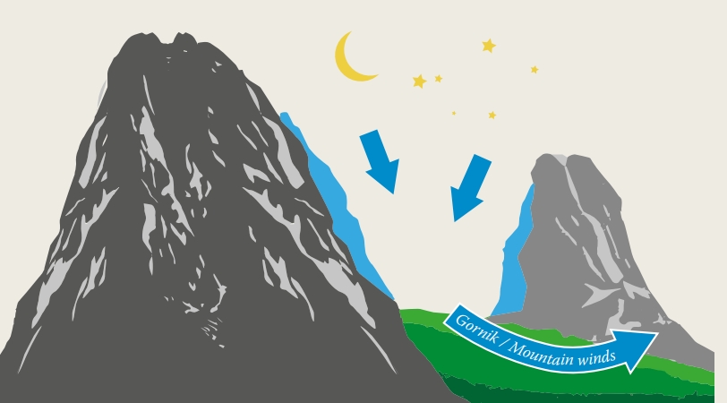
At night
During a clear and calm night, the slopes and nearby air emit infrared radiation and cool down considerably. This dense and heavier air flows down the mountain slopes to the valley, producing a cool gentle wind that is aptly named the mountain breeze.
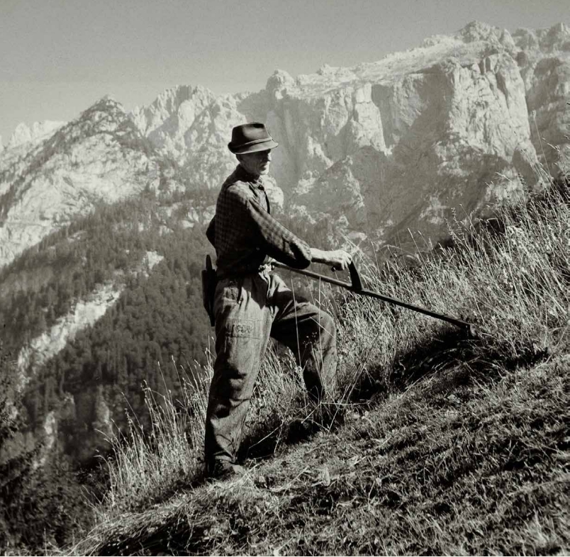
Making hay high in the mountains
In the past, large numbers of goat and sheep herds led to a severe shortage of winter fodder. There was not enough hay in the valleys, therefore farmers had to mow the grassy ledges and steep mountain slopes using sickles. The harvesting of the grass on hard-to-access and perilous high-altitude grasslands and moving the hay to the valley, known as ‘vrharjenje’, was one of the harshest forms of survival in the Upper Soča Valley. Farmers from Strmec and Log pod Mangrtom even continued to use this method after WWII on the slopes of Mangrt.
The 5000-year-old tradition in the Alps is a culture of survival. The relentless challenge and struggle to survive in the harsh conditions completely different from the conditions in the valleys at the foot of the Alps.
Janez Bizjak
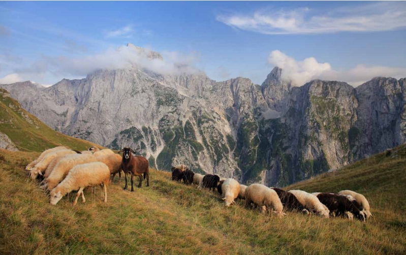
The Bovec sheep and cheese
Over several hundred years of cultivation, the Bovec sheep (bovška ovca) has genetically established itself on the sub-alpine and alpine meadows of the Upper Soča Valley. This distinctive dairy breed is best known for its high milk production, adaptability, resistance to changeable climatic conditions and rough mountain terrain, and longevity.
As a domestic breed native to Slovenia, the Bovec sheep is genetically protected. The sheep cheese from the wide area of Bovec known as bovški sir has been granted a Protected Designation of Origin (PDO) label. The geographical area of origin includes the Bovec basin, the Loška Koritnica and Soča river valleys, and Trenta.
Alpine cheese making is the peak of the sheep farming year, and its primary objective is the production of cheese and curd cheese.
Dr. Naško Križnar
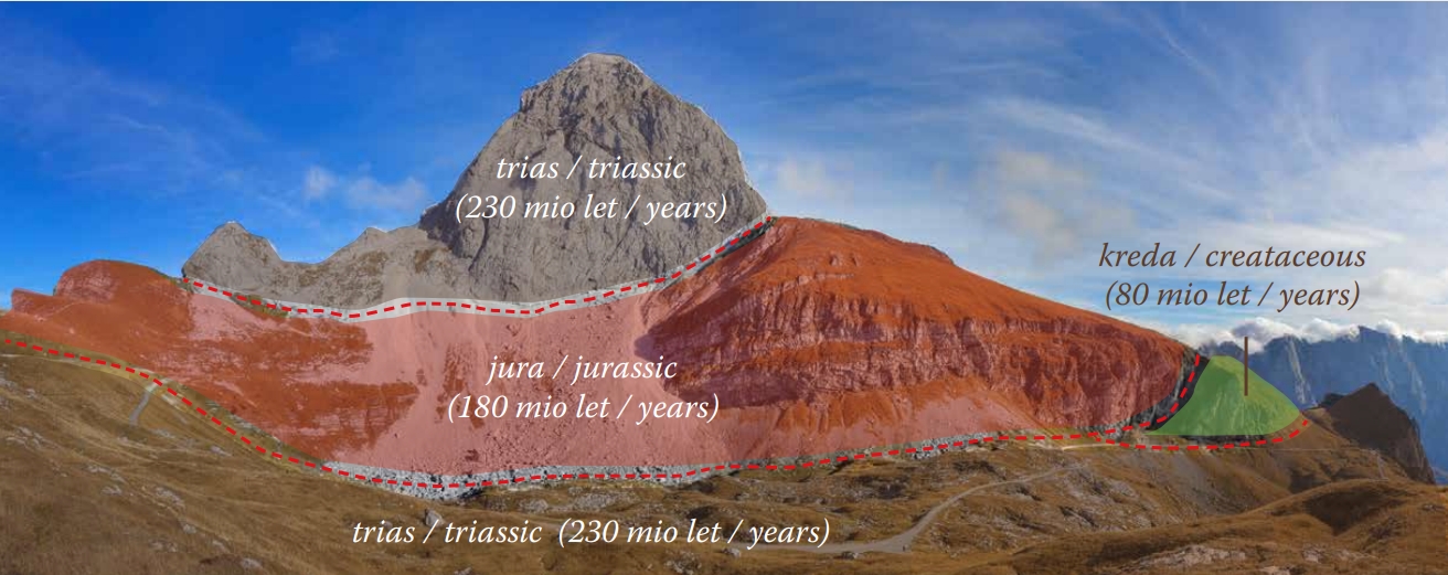
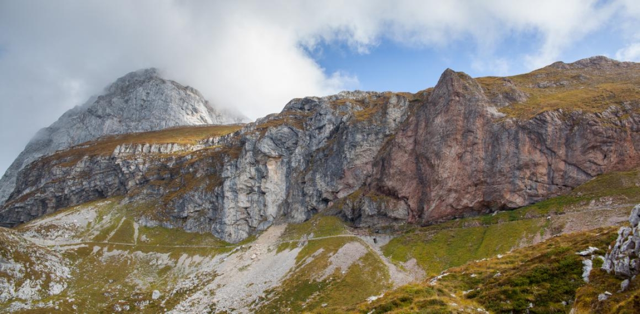
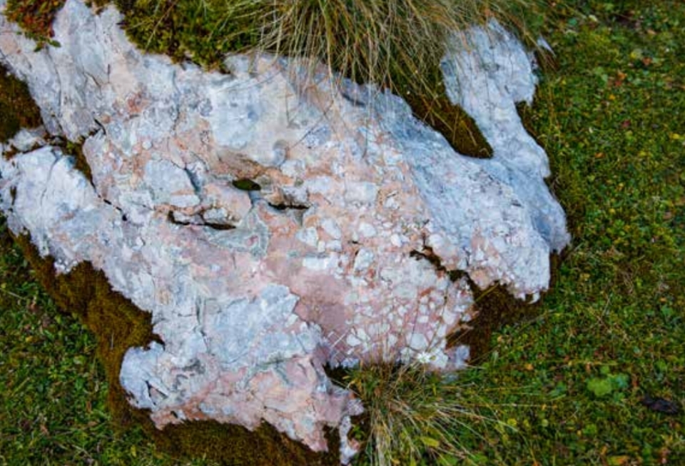
Geology
The diversity of rocks
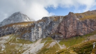
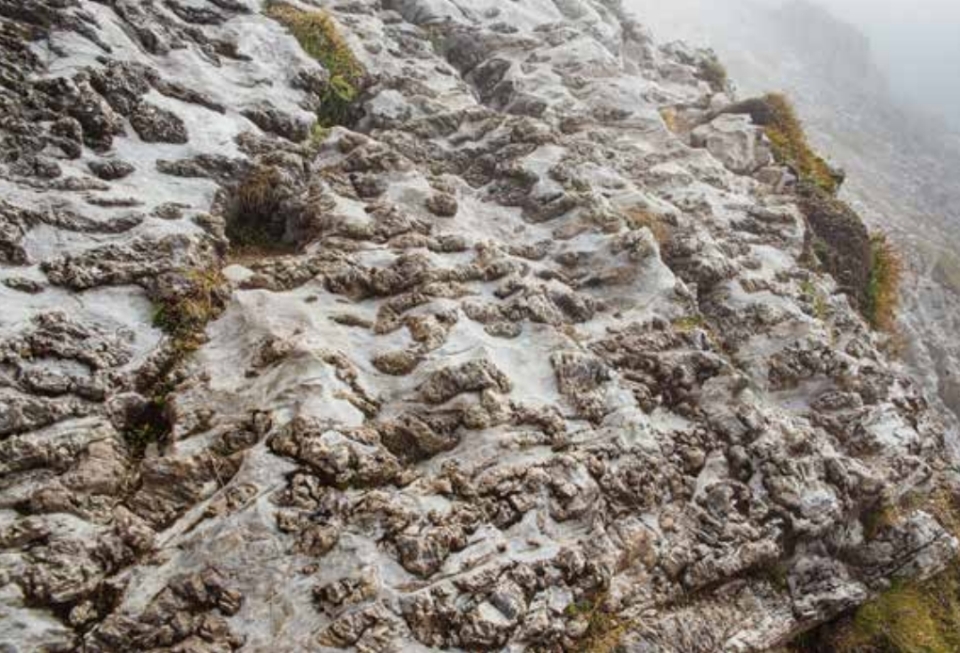
The Mangrt Saddle and its surroundings are one of the most important areas of geological heritage in the Julian Alps. Exposed rocks on the surface formed in diverse marine environments far from their current location, which explains why they vary in shape, colour, composition and age. They formed over an interval of 150 million years, from the Upper Triassic, through the Jurassic and Cretaceous ages.
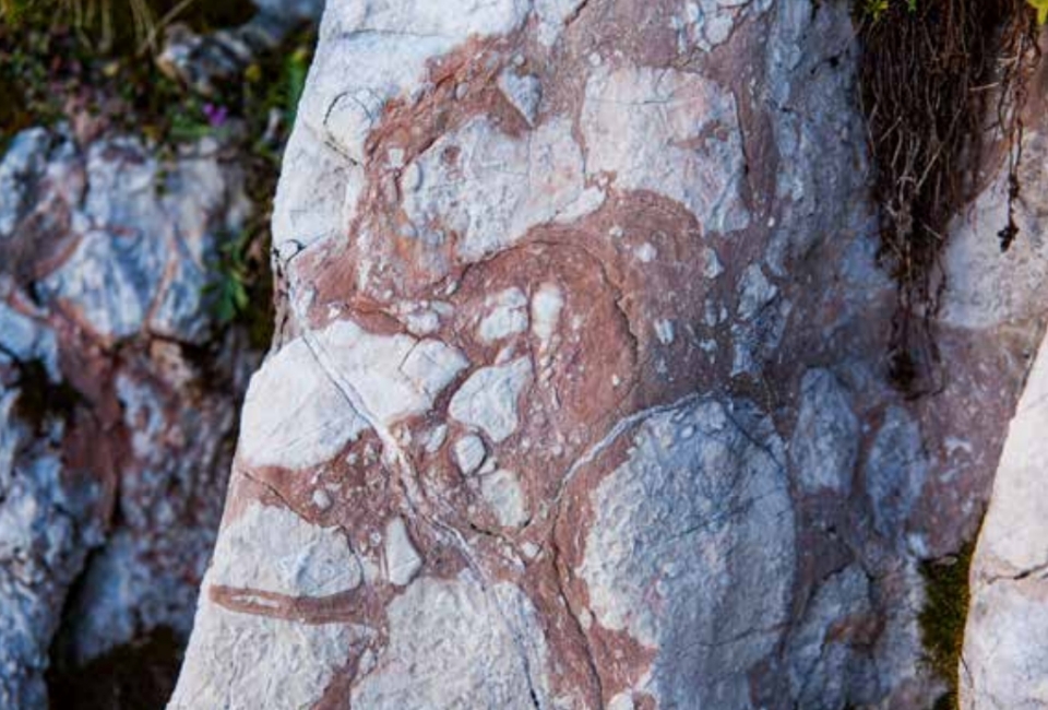
Neptunian dykes are reddish fillings of younger marine sediments that formed in voids within older rocks. Their formation is connected with the widening of cracks on the sea floor which were filled with red marine sediment. They were named after Neptune, the Roman god of the sea.
The Alps, as we see them today, are merely a photograph of a moment in eternal creation, change and cyclic repetition.
Janez Bizjak
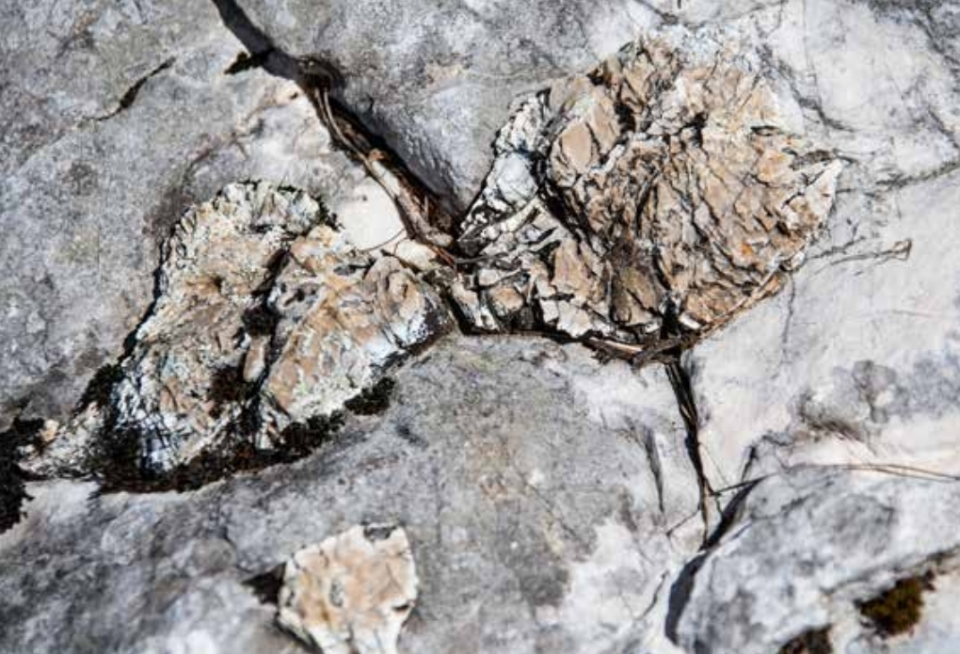
In the area of the Mangrt Saddle, dark tubers or streaks can be seen protruding from the limestone. These are cherts, an organic form of quartz composed of countless dead skeletons of reticulate algae and diatoms. The soil above the cherts is acidic due to silica, therefore adapted plant species grow here. People in the Alps knew how to use chert. Due to its strength and processability, it was mainly used to make tools and weapons.
Rockfall
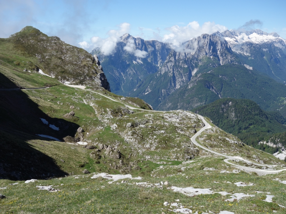
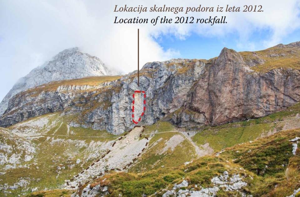
A major rockfall occurred on the part of the road towards the Mangrt Saddle in 2012, which made the saddle inaccessible by transport. Geological research confirmed the existence of heavily cracked, folded and unfavourably inclined rocks. The danger of new rockfalls is so great that the road to the top of the saddle has been closed ever since. Closure of the road has enabled more favourable living conditions for flora and fauna and provided a new place where people can experience the natural environment on foot.

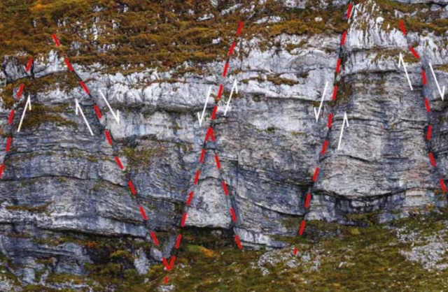
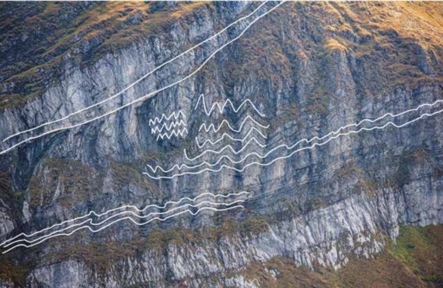
Geological features of the area
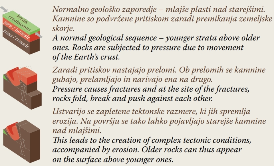
The rocks follow the rule of superposition – the strata underneath are older, while those above are younger. In the area of Mt. Mangrt, however, the oldest rocks can be found in the highest strata. Such a sequence is the consequence of thrust faults that formed during the uplifting of the Alps when the pressure along the faults caused older rocks to rise or push forward over the younger ones, creating complex geological phenomena and interesting shapes (folds, fractures, cracks).
Layer upon layer it rises, a stone wall of bare peaks, the Eternal Master commanding: “Come, mason, here to learn!”
Valentin Vodnik