Planica Tamar
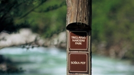
Get to know the Planica and Tamar glacier valleys through various info boards.


You can reach this point by seasonal public transport. Your station is Planica.
Find out more about sustainable mobility in the park and beyond.
Data from visitor counters in the park

 Summer location / automatic station
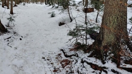
 Winter location / automatic station
 Year-round location / automatic station
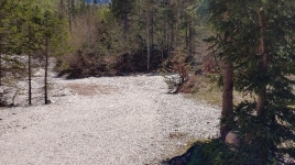
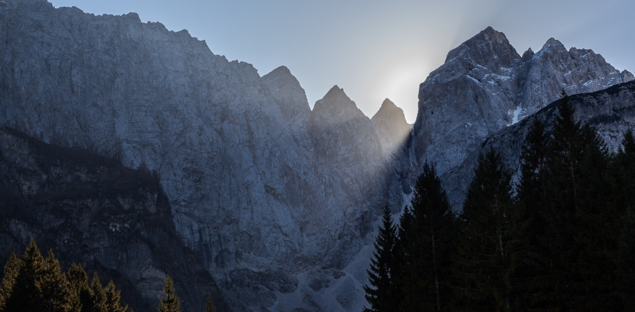
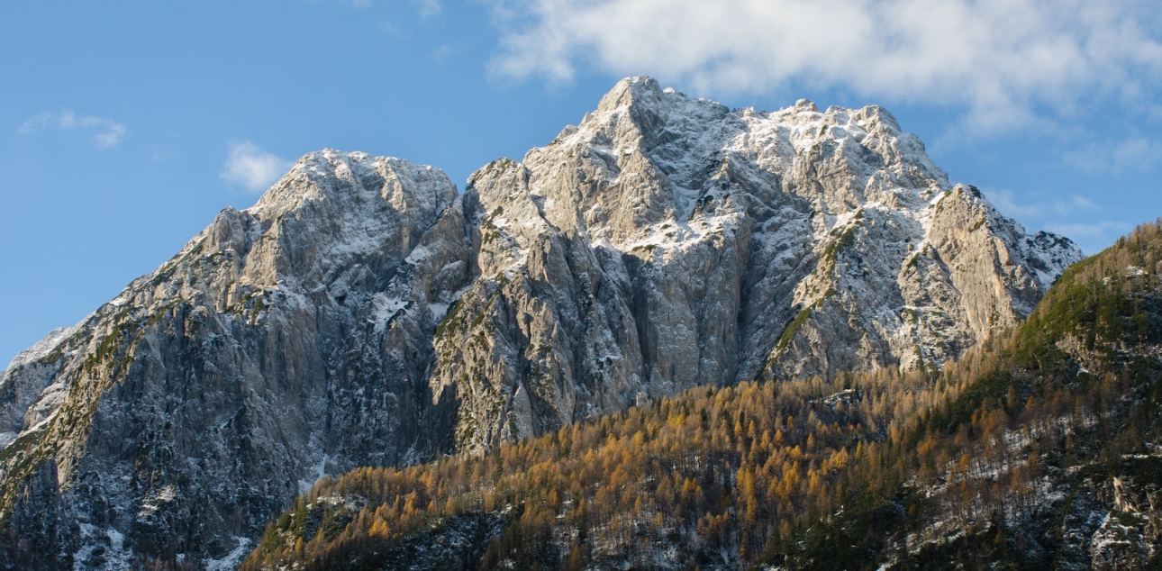
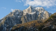
Planica, a long characteristic glacial valley in the northern part of the Slovenian Julian Alps, branches off from Dolina near Rateč. It is bounded to the west by the Ponec ridge, and to the east by the Mojstrovka and Cipernik ridges.
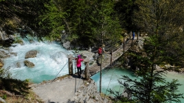
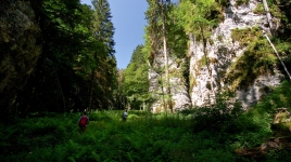
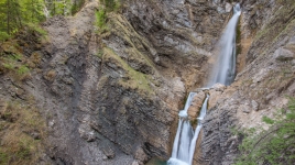
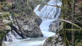
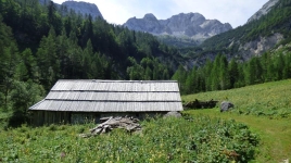
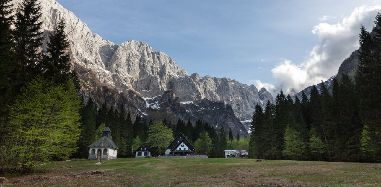
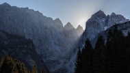
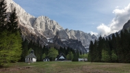
The upper part of Planica passes into the Tamar, one of the most beautiful gorges in the Julian Alps, at the end of which mount Jalovec rises in its distinctive shape.
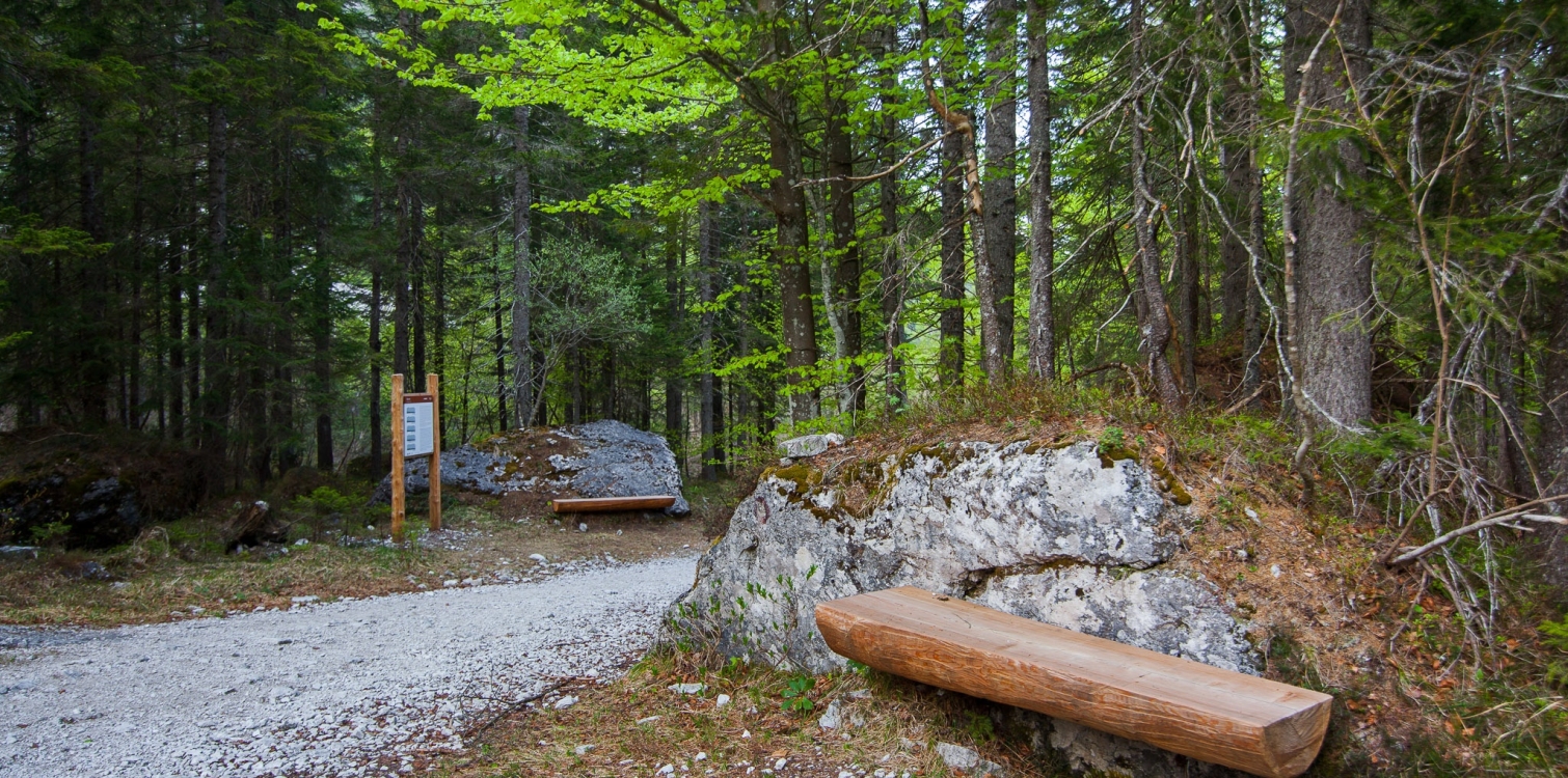
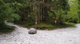
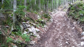
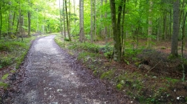
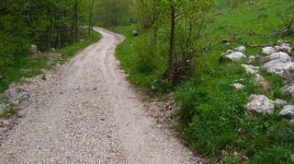
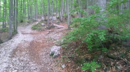
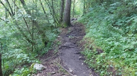
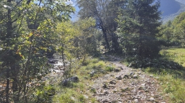
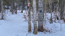
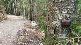
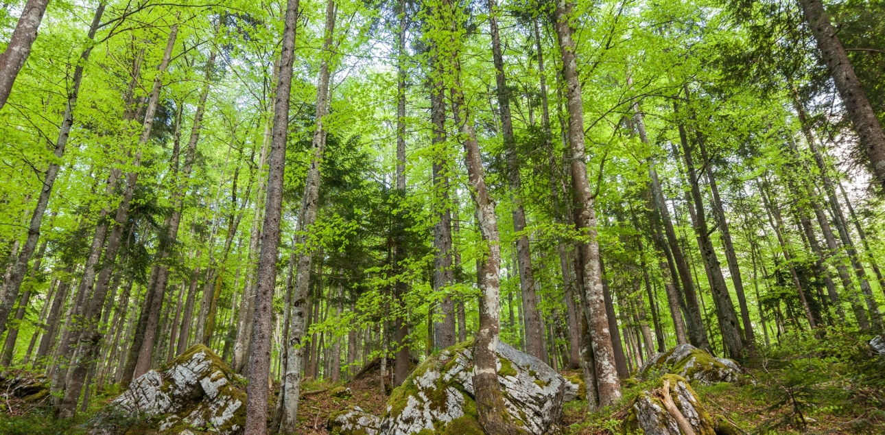
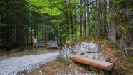
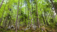
From the car park in Planica, head south towards Tamar. Continue along the dirt road, which will quickly lead you to a junction of two paths. Continue along the right-hand path (in winter there is a cross-country ski track), which climbs gently. The path passes mostly through the forest and partly across the hillsides. The trail ends at the mountain lodge in Tamar.
Information boards along the way show the features of the area.
Guidance:
- by prior arrangement
Tourism Kranjska Gora:
- Phone.: 04 5809 440,
- Email: info@kranjska-gora.eu
Triglav National Park:
- Phone.: 04 5780 205,
- Email: info.trb@tnp.si

Additional information
Starting point:
- Nordijski center Planica
Difficulty of the route:
- easy hiking trail
Points of interest along the way:
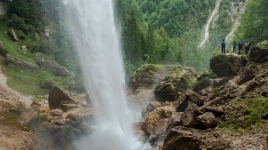
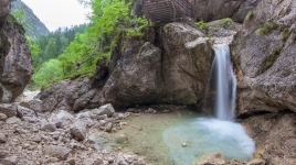
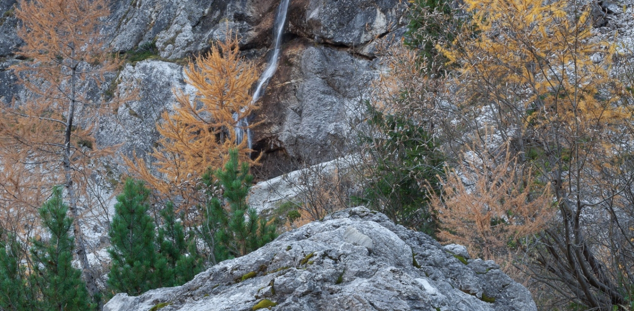
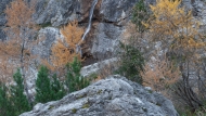
- Planica ski jumping hills, Planica Nordic Centre, views of the surrounding peaks, view of one of the most recognizable Slovenian mountains - Jalovec, glacial formation of the U valley, boulders, chalk area, Nadiža waterfall, Chapel of Marija Pomagaj
Suitable time of year:
- dry season
Visit payability:
- free of charge
Guest houses and mountain huts:
- Tamar Mountain Hut, Planica Nordic Centre bar
Recommendations:
- Suitable hiking footwear
- In the winter time, the trail is different and follows the same route to the hut in Tamar to Planica due to the ross-country skiing trails
Trail Manager:
- Tourism Kranjska Gora
Current conditions
Official weather forecast
Frequently asked questions
Thank you.